Zitadelle Cyriaksburg
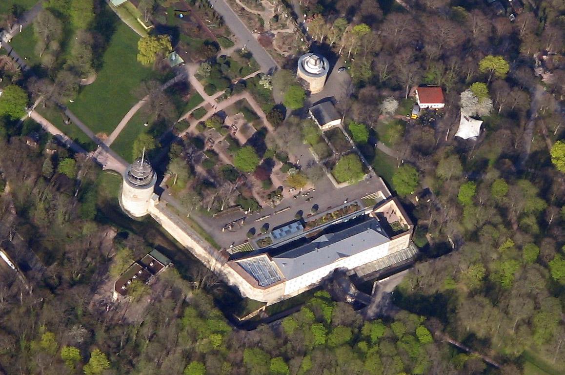
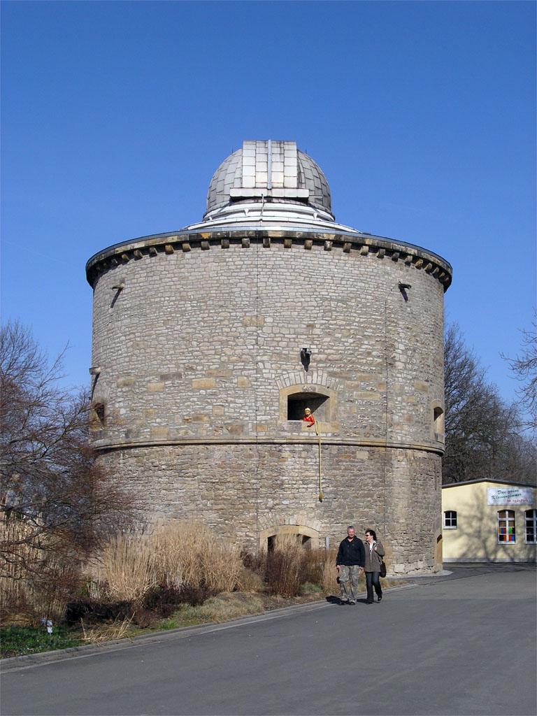
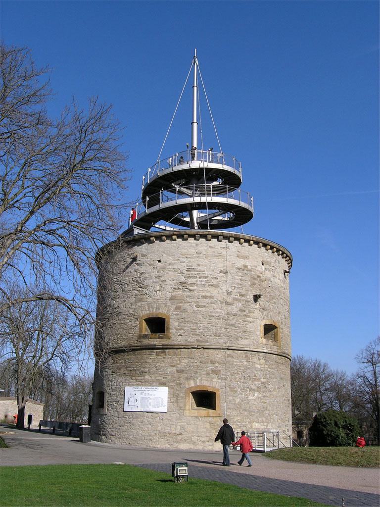
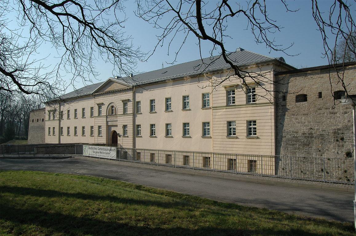
Zitadelle Cyriaksburg stands in southwestern Erfurt, on the 265-metre Cyriaksberg above the Gera Valley. From this western plateau, the former fortress overlooks settlements in the Thuringian Basin. Its walls occupy a site once held by the twelfth-century Cyriak Monastery.
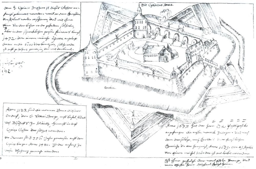
Construction took place between 1480 and 1604 to strengthen Erfurt’s western defences. During the Thirty Years’ War, Gustav Adolf II of Sweden expanded the stronghold into a citadel. After Mainz troops captured Erfurt in 1664 and Petersberg Citadel rose nearby, Cyriaksburg lost much of its military importance. The site later belonged to Prussia after the Congress of Vienna and remained a fortification until 1871.
A city garden replaced the military grounds in 1919. From 1961, international horticultural exhibitions filled the area, which later became part of egapark Erfurt. Renovations have continued since 1995, while the buildings now house the German Horticultural Museum.
- City
- Erfurt
- Content updated
Take this page with you
The myTuur app is free, and once you are standing at a spot its story starts by itself.


Spots like this one are the stops myTuur strings into tours through Erfurt. In the app, each story begins where you stand: walk up to a spot and it starts, read it on screen or listen as you go, then follow the route to the next one.
What is myTuur?
myTuur is a free city-guide app. Its tours are built from spots, and each spot carries a story that starts when you get there, to read or to listen to as you like.