Leipziger Platz
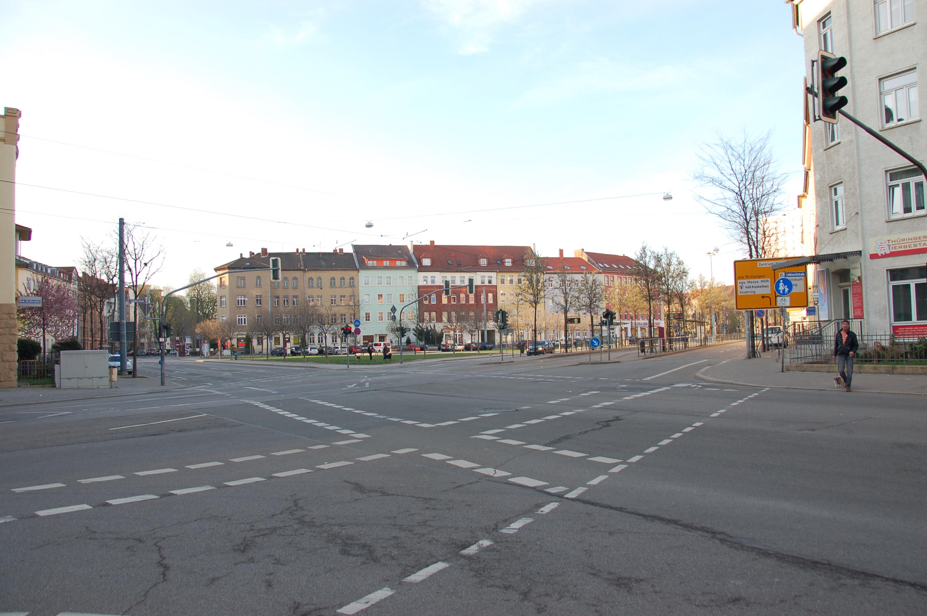
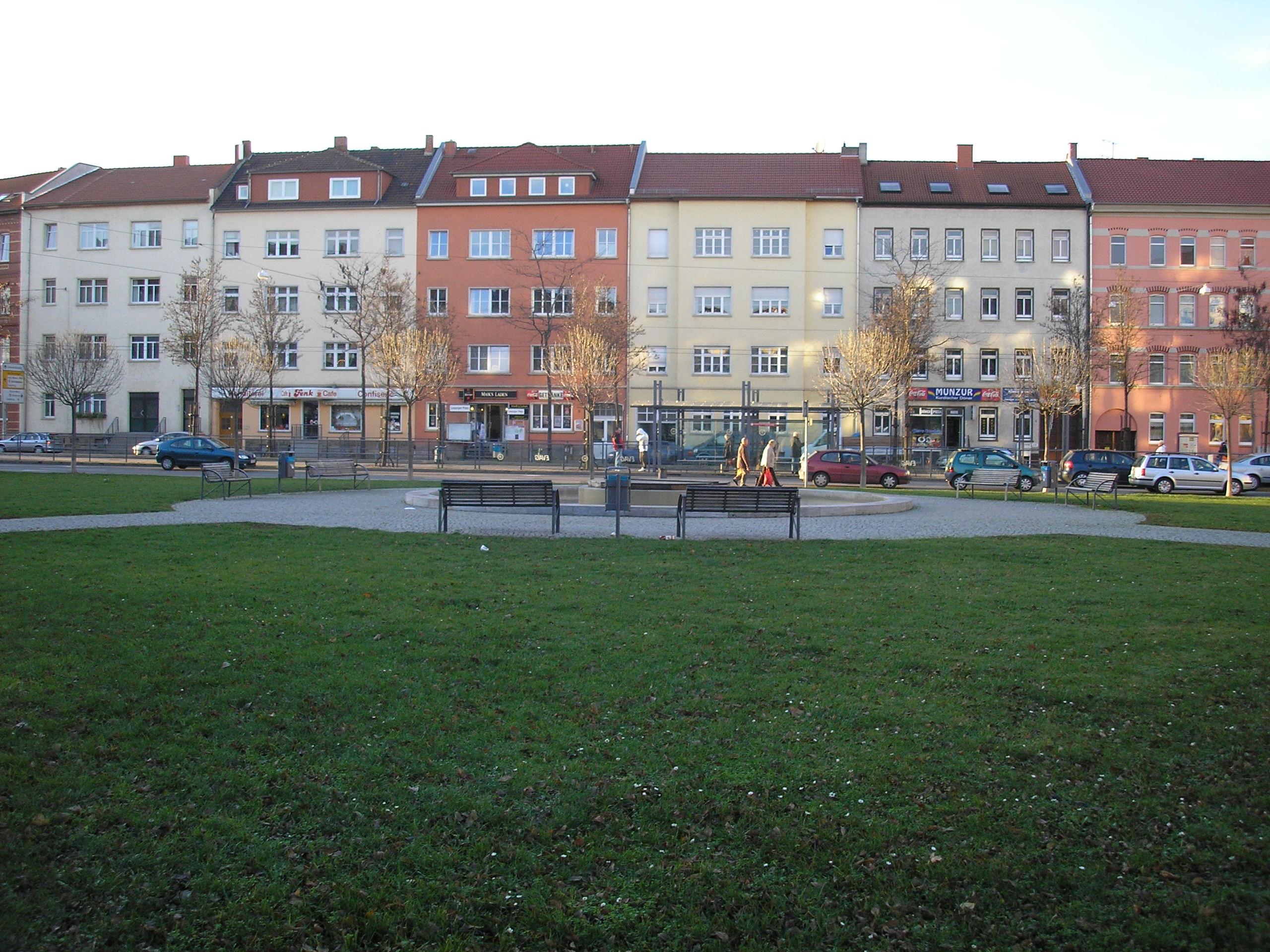
Leipziger Platz forms a triangular square in Erfurt’s eastern Krämpfervorstadt district, with sides measuring about one hundred metres each. A green centre and fountain sit among tree-lined roads. Leipziger Straße and Liebknechtstraße leave its northern corner, while Geschwister-Scholl-Straße and Thälmannstraße begin at the southeast. Stauffenbergallee crosses the southwestern corner beside Krämpferstraße, creating a busy meeting point for routes through the city.
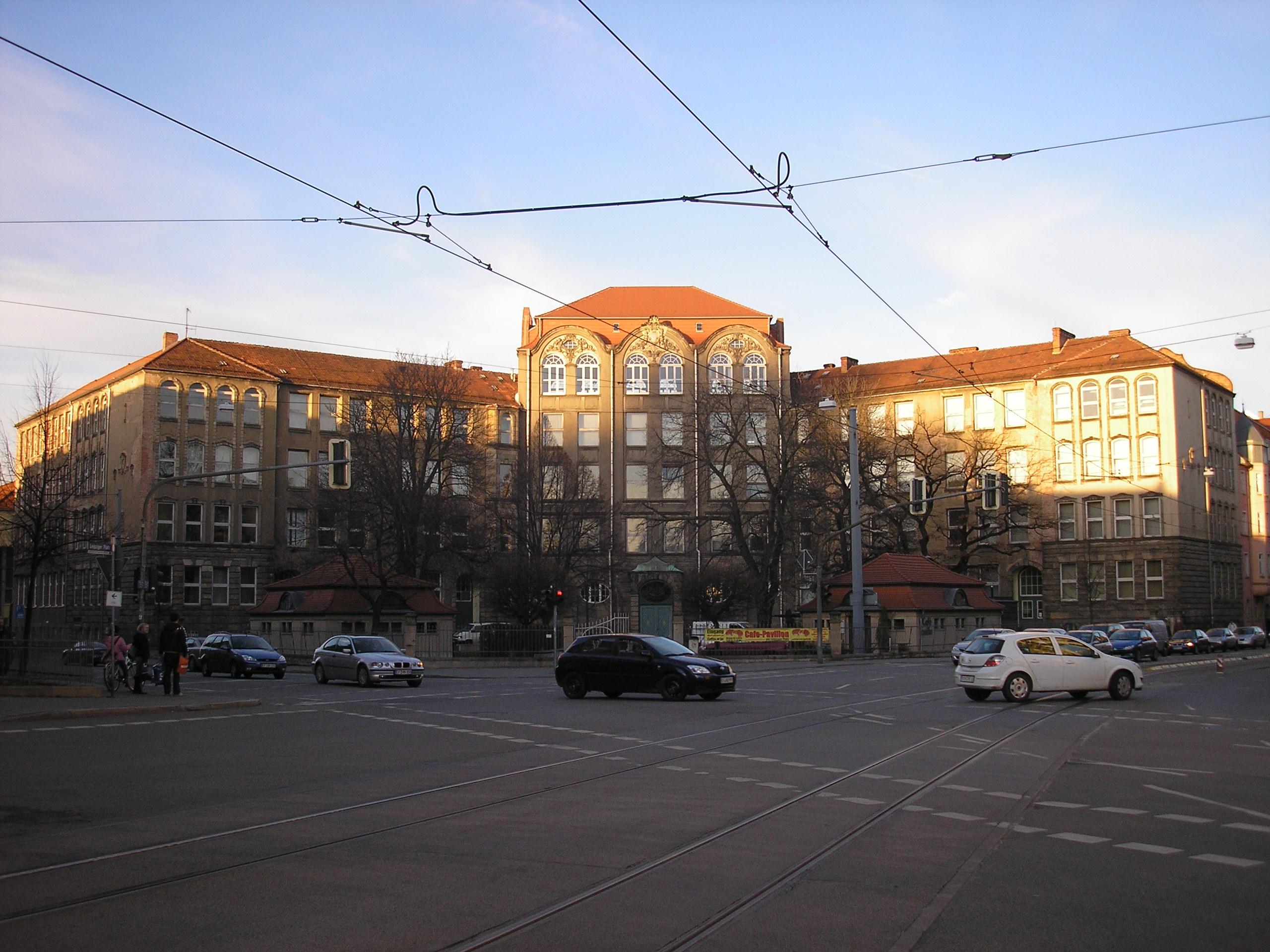
Development took place between 1904 and 1916, amid rental houses with shops and historicist or Art Nouveau façades. The Medical Vocational School occupies the northern corner, founded in 1906 and built in Neo-Baroque forms. The old Via Regia from Erfurt to Leipzig leaves the city here, crossing Stauffenbergallee and the former ring-road route. Tram line four runs through the centre, linking Anger with Ringelberg, while Geschwister-Scholl-Straße carries the Thüringer Städtekette cycle route.
The Krämpfertor once stood at the southwestern edge, marking the former city fortifications. On 6 December 1944, a British 1.8-tonne air mine struck the green area and damaged surrounding buildings. A deep crater remained in the middle before the square received its complete tram-related redesign in 2000.
- City
- Erfurt
- Content updated
Take this page with you
The myTuur app is free, and once you are standing at a spot its story starts by itself.


Spots like this one are the stops myTuur strings into tours through Erfurt. In the app, each story begins where you stand: walk up to a spot and it starts, read it on screen or listen as you go, then follow the route to the next one.
What is myTuur?
myTuur is a free city-guide app. Its tours are built from spots, and each spot carries a story that starts when you get there, to read or to listen to as you like.