Kazerne B Fort de Bilt
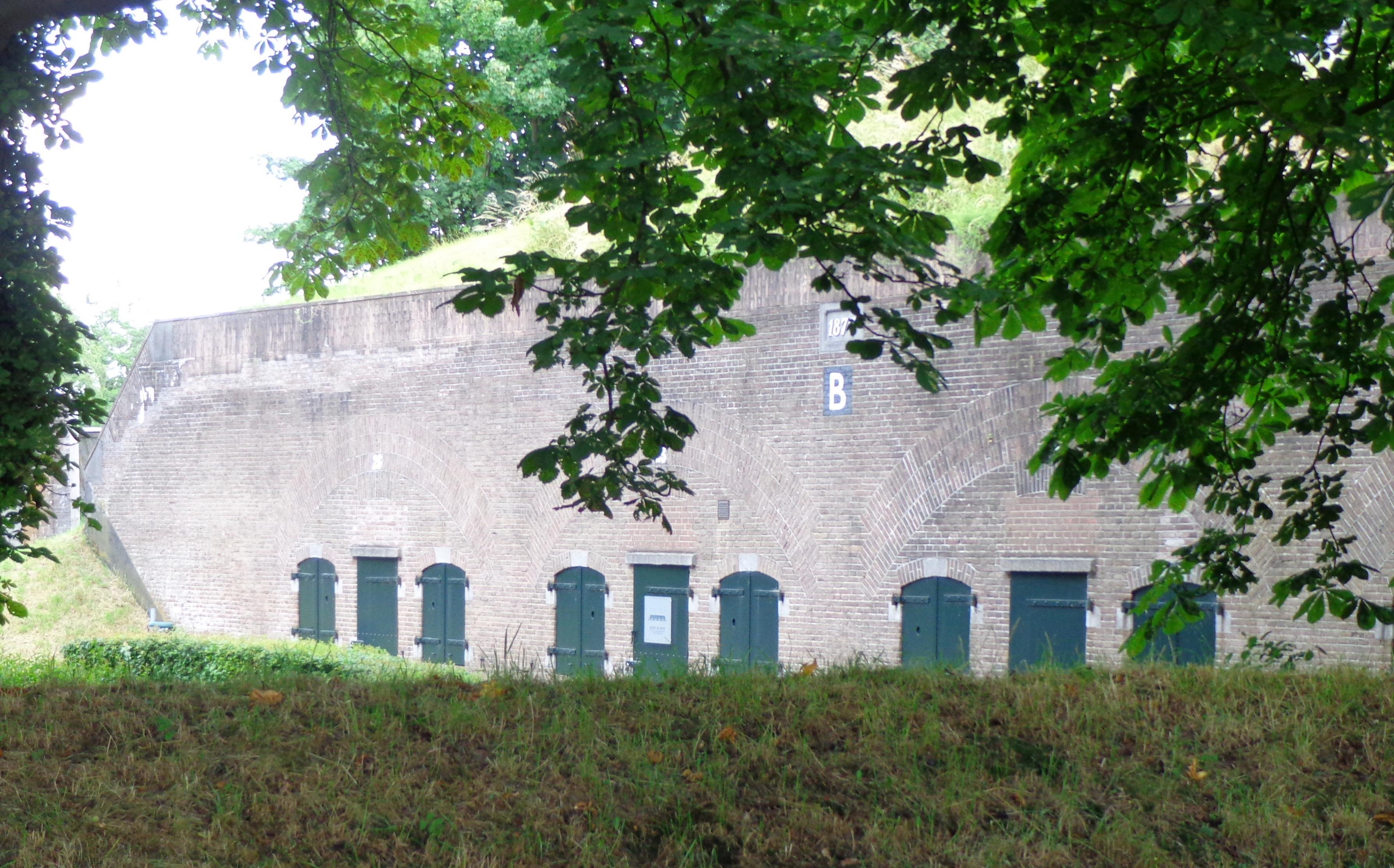
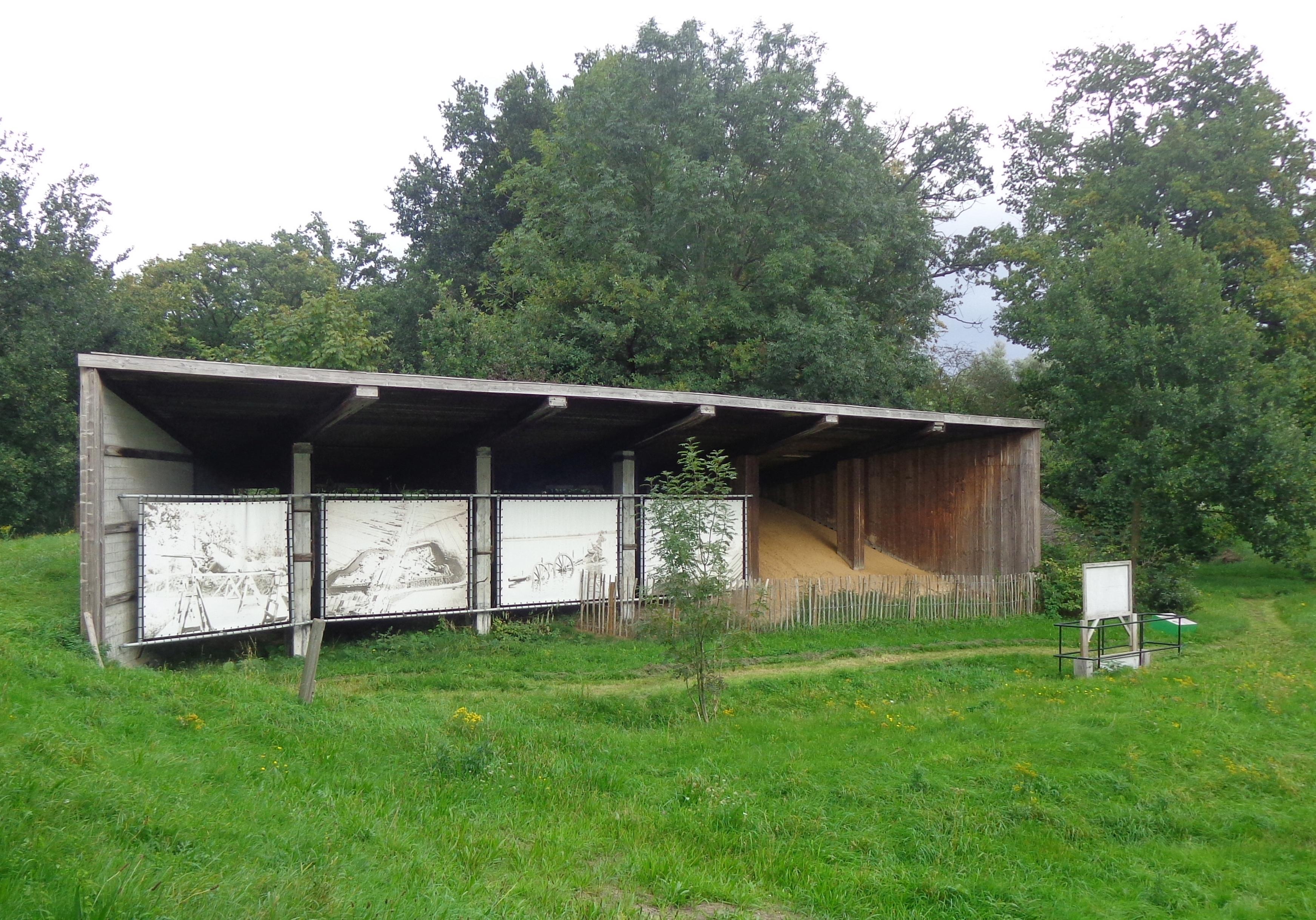
Kazerne B Fort de Bilt stands on Utrecht’s eastern side, forming part of the city’s historic defensive ring. Fort de Bilt began as an earthen fortress built between 1816 and 1819. Earthen ramparts, four bastions, concealed plantings, and a city-side reduit shaped a landscape designed for defence and camouflage.
The fort protected the road from Utrecht to Arnhem and changed as military needs developed. Stone barracks, shelters, magazines, and bombproof buildings expanded the complex during the nineteenth century. Special roof drainage filtered rainwater through sand and gravel, supplying about 80,000 litres even during bombardments. A wider road later cut through the fort, destroying the reduit and dividing the site into northern and southern sections.
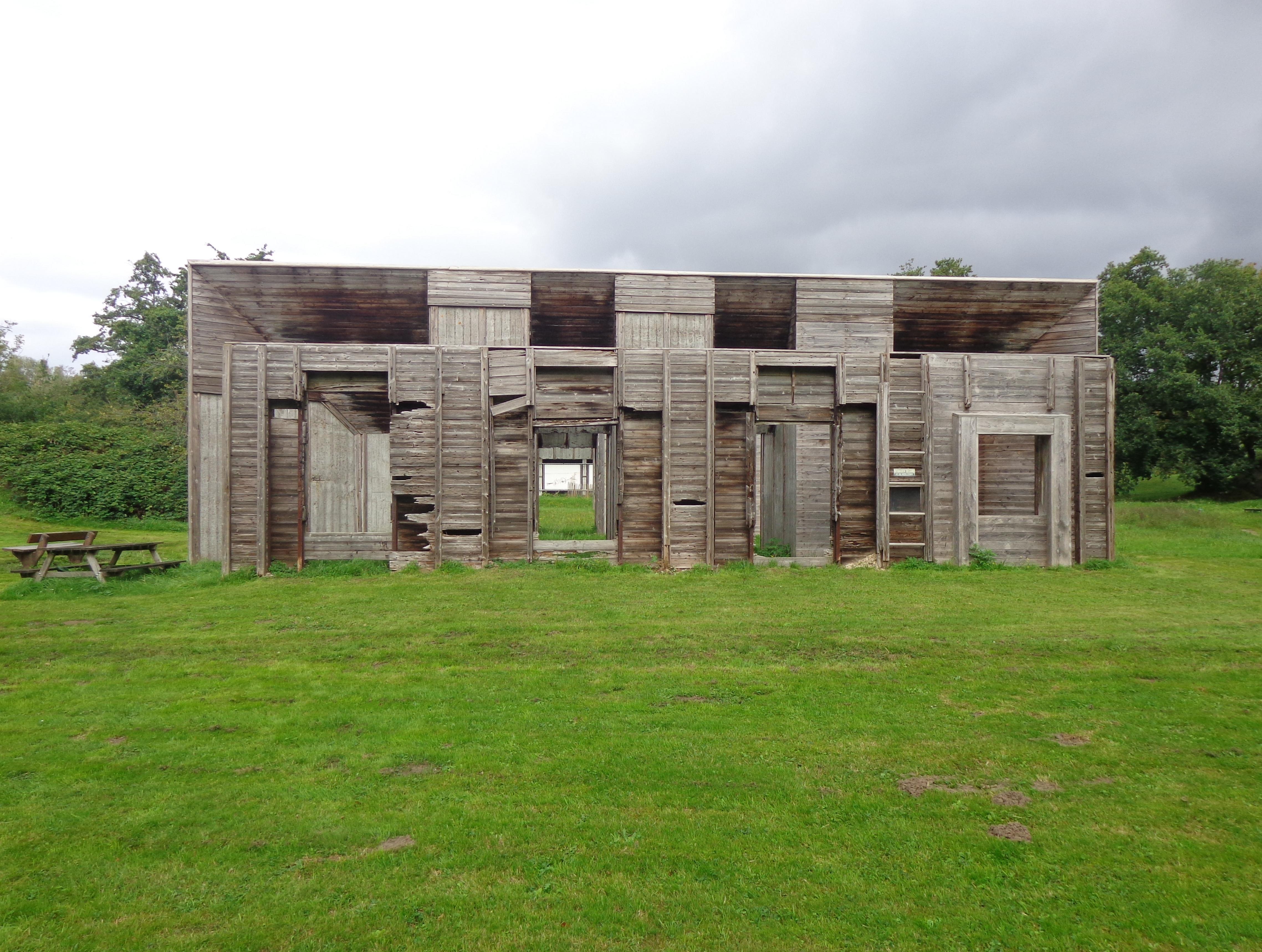
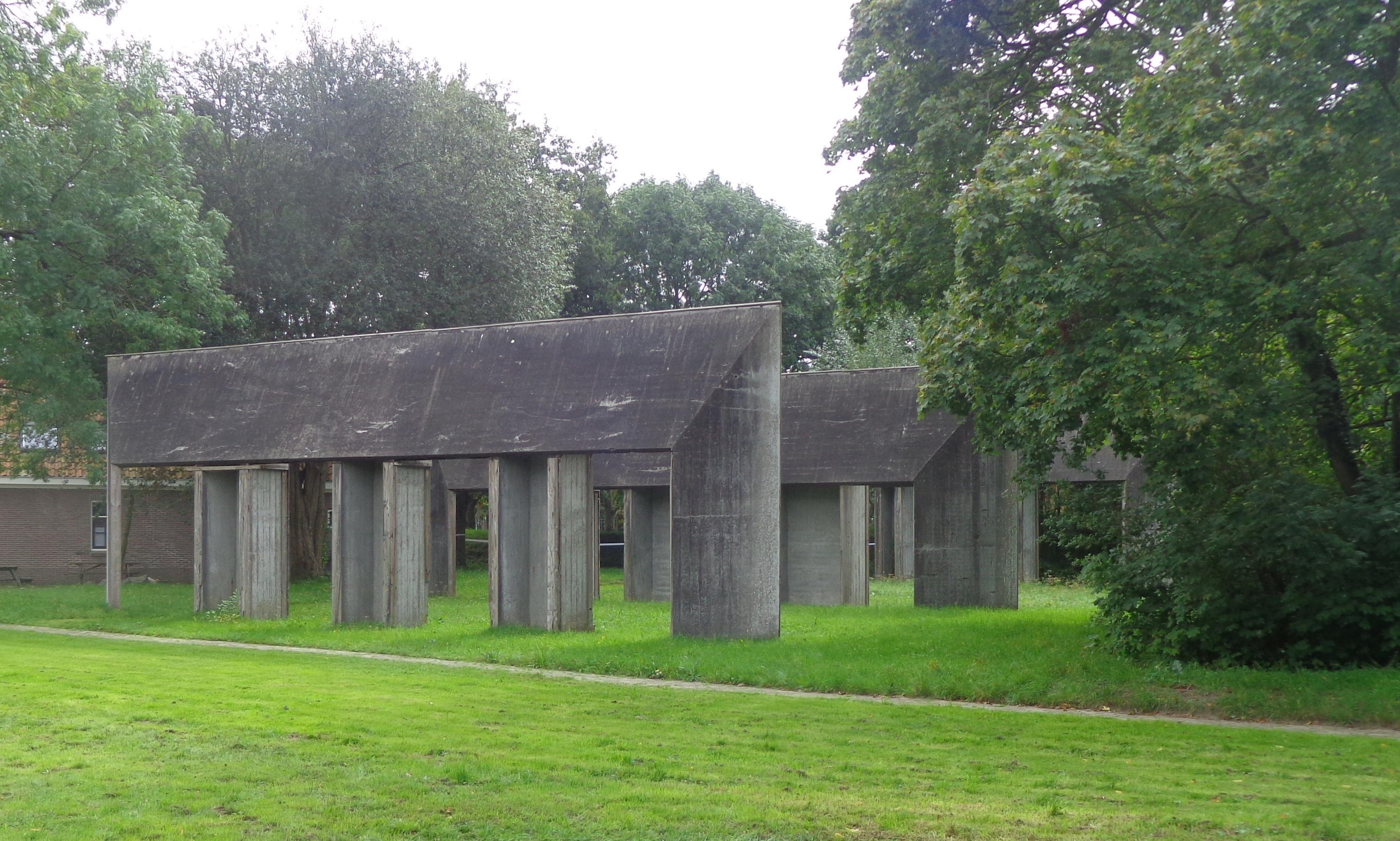
The northern section now combines military architecture with education and remembrance. A concrete casemate recalls the resistance fighters imprisoned and executed here during the Second World War, while a 1949 memorial marks their deaths. The Peace Education Foundation connects that history with lessons about prejudice, diversity, bullying, and scapegoating.
- City
- Utrecht
- Content updated
Take this page with you
The myTuur app is free, and once you are standing at a spot its story starts by itself.


Spots like this one are the stops myTuur strings into tours through Utrecht. In the app, each story begins where you stand: walk up to a spot and it starts, read it on screen or listen as you go, then follow the route to the next one.
What is myTuur?
myTuur is a free city-guide app. Its tours are built from spots, and each spot carries a story that starts when you get there, to read or to listen to as you like.