Centro Histórico
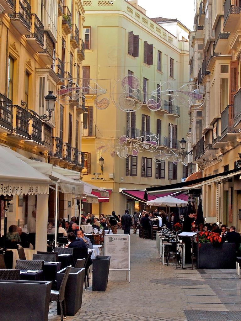
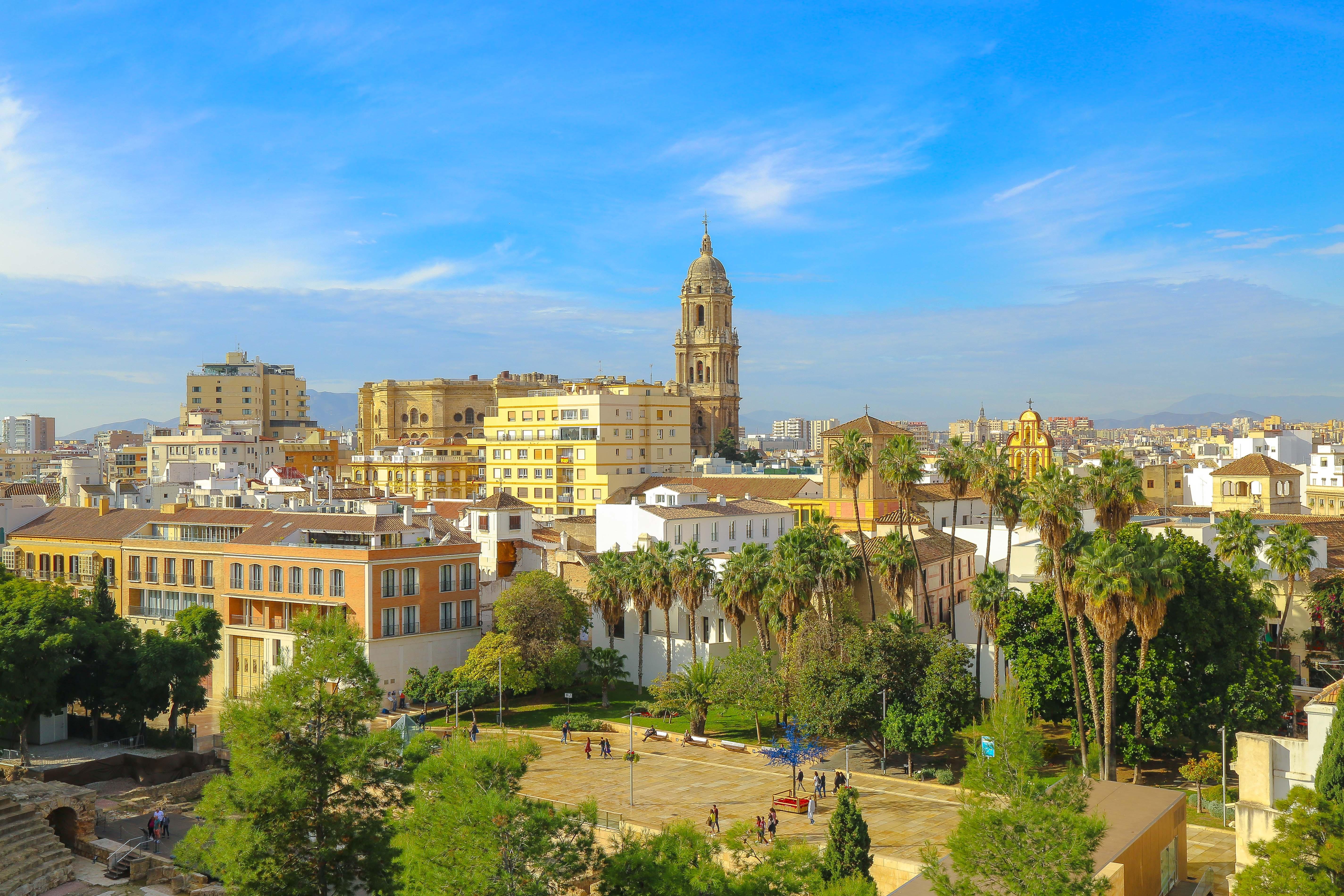
Centro Histórico occupies Málaga’s old town and carries recognition as a Bien de Interés Cultural. Nasrid defensive walls once enclosed this historic area.
Its northern boundary follows Carretería, Álamos, Mundo Nuevo, and Plaza de la Merced towards the Guadalmedina River. Alameda Principal and Avenida de Cervantes define its southern boundary. Monte Gibralfaro forms the eastern boundary of the neighbourhood.
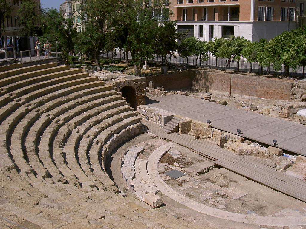
The neighbourhood preserves traces of Malaka, with defensive wall sections visible beneath buildings such as Museo Picasso Málaga. A Roman theatre stands beside the Alcazaba. The Nasrid period left the medina, Gibralfaro Castle, and the walled urban form behind. Churches and convents followed the conquest in 1487.
Later, the city removed sections of the walls while building the Alameda, Customs House, and Episcopal Palace. Málaga’s Calle Larios anchors the old town centre. José María de Sancha designed the street, while Eduardo Strachan Viana-Cárdenas introduced Chicago School architecture to Málaga.
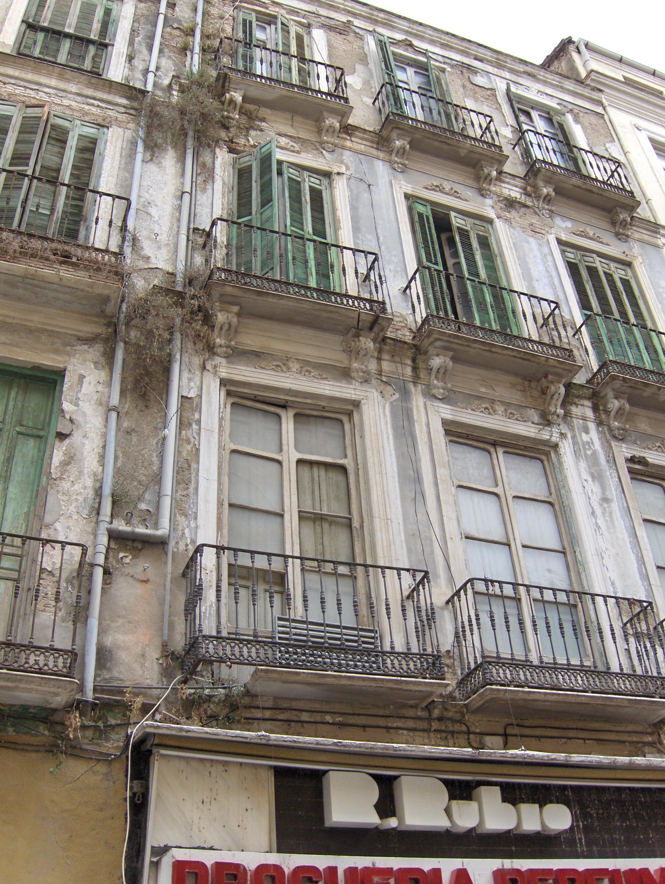
Urban revitalisation efforts began across Málaga’s centre in 1996. Those efforts combined housing rehabilitation, pedestrian streets, social programmes, economic integration, and improved basic services. Some protected historic buildings remain within the neighbourhood.
- City
- Malaga
- Content updated
Take this page with you
The myTuur app is free, and once you are standing at a spot its story starts by itself.


Spots like this one are the stops myTuur strings into tours through Malaga. In the app, each story begins where you stand: walk up to a spot and it starts, read it on screen or listen as you go, then follow the route to the next one.
What is myTuur?
myTuur is a free city-guide app. Its tours are built from spots, and each spot carries a story that starts when you get there, to read or to listen to as you like.