Kreuzleshöhe
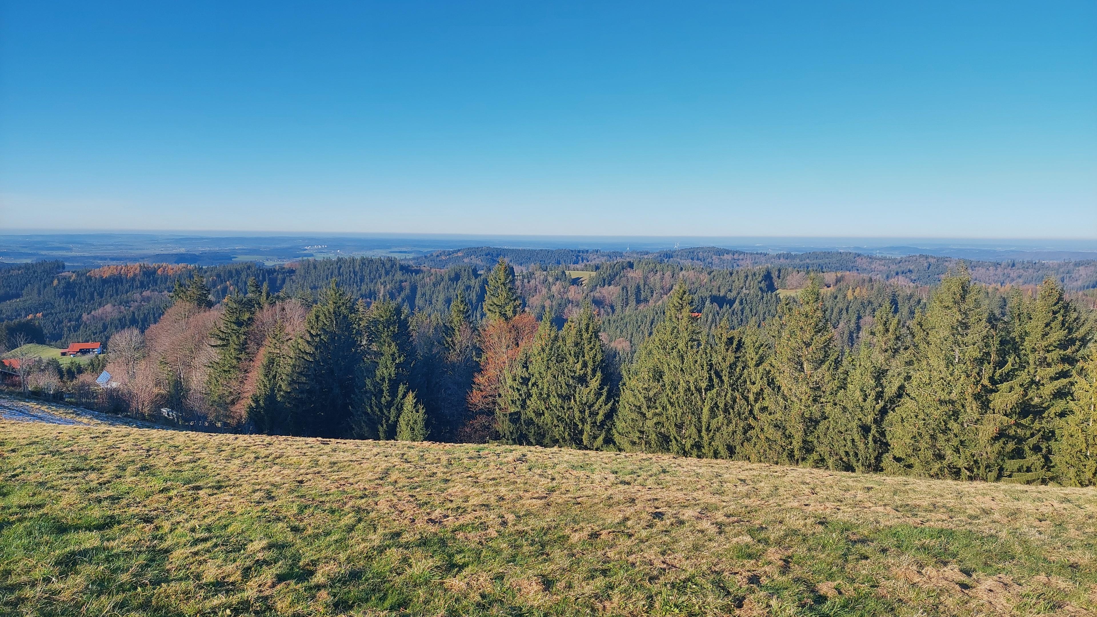
Kreuzleshöhe rises to 1,115 metres in the West Allgäu, near Kreuzthal and the Bavarian-Württemberg border. The unwooded summit opens wide views towards Isny and across the surrounding Allgäu hills. A grassy crest, summit cross and quiet setting make the mountain welcoming for families and beginner hikers.
A route from Blockwiesen follows the Ulmerthalbach through forest before climbing towards the top. The four-kilometre ascent passes woodland cabins, meadows, old trees and several steeper ramps. A circular walk can continue over the 1,005-metre Wolfsberg, along root-filled forest paths and a wooded ridge. The full circuit covers about ten kilometres and 310 metres of ascent, while cyclists favour the paved road from Krummen, where gradients reach 20 percent.
The Ulmerthal valley lies north of the ridge, while the Kreuzbachthal extends southwards through the Adelegg landscape. Late-seventeenth-century glassmaking shaped the valley, and former farmsteads now include holiday homes. A small wooden chapel dedicated to Saints Martha and Magnus stands beside the route. With no restaurant or mountain hut at the summit, a picnic beside the cross becomes the memorable finish.
- City
- Kreuzthal
- Content updated
Take this page with you
The myTuur app is free, and once you are standing at a spot its story starts by itself.


Spots like this one are the stops myTuur strings into tours through Kreuzthal. In the app, each story begins where you stand: walk up to a spot and it starts, read it on screen or listen as you go, then follow the route to the next one.
What is myTuur?
myTuur is a free city-guide app. Its tours are built from spots, and each spot carries a story that starts when you get there, to read or to listen to as you like.