Parque Natural de Tamadaba
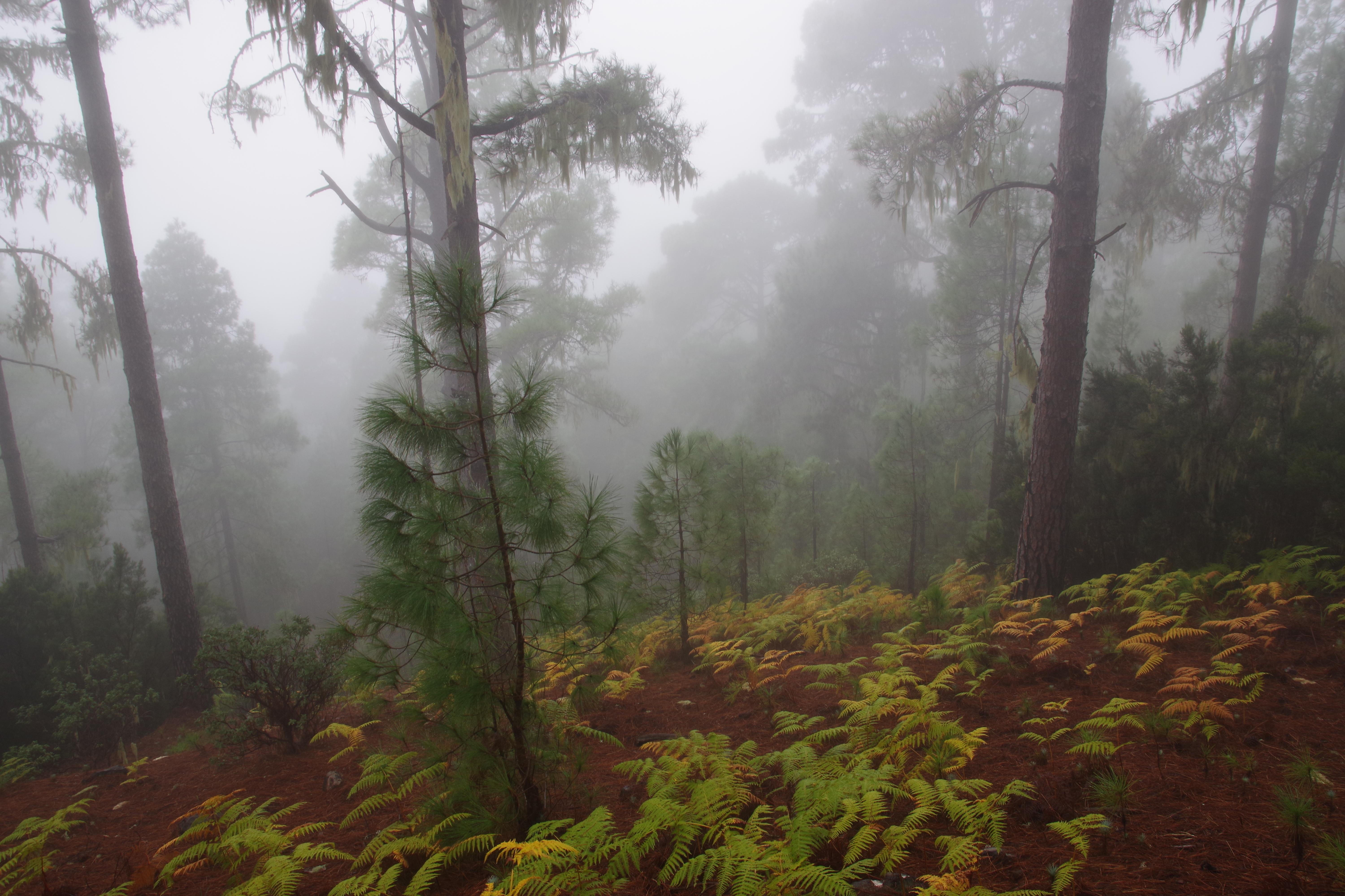
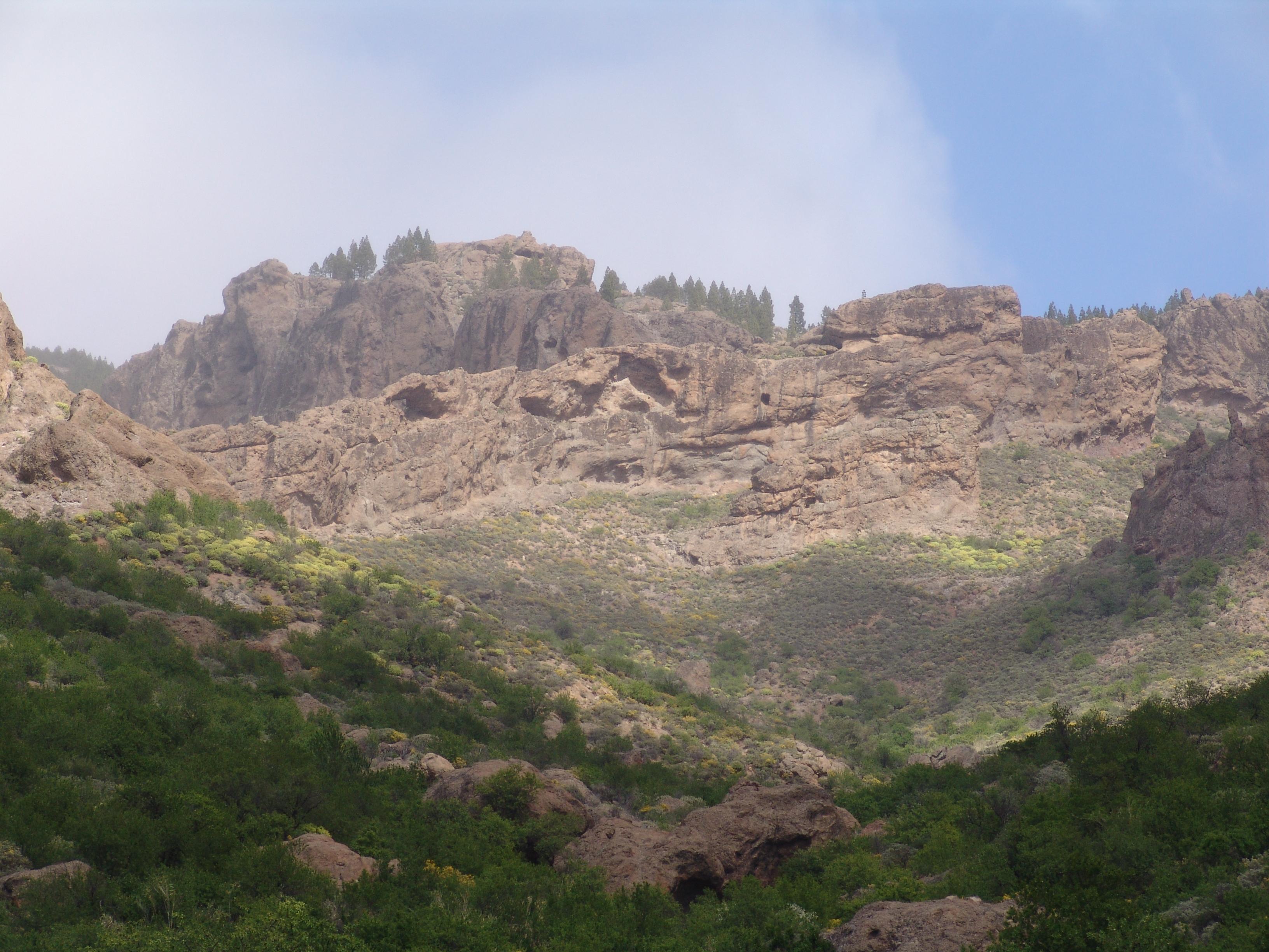
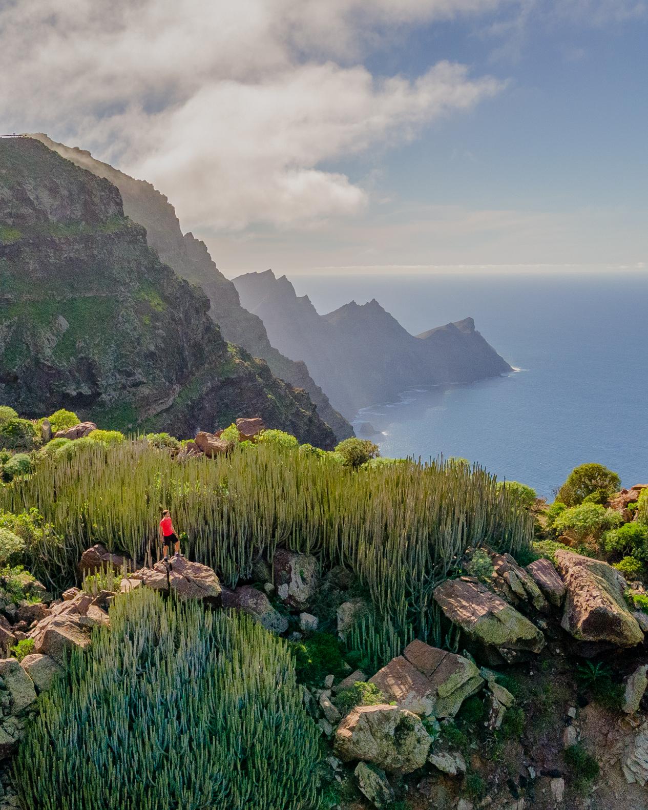
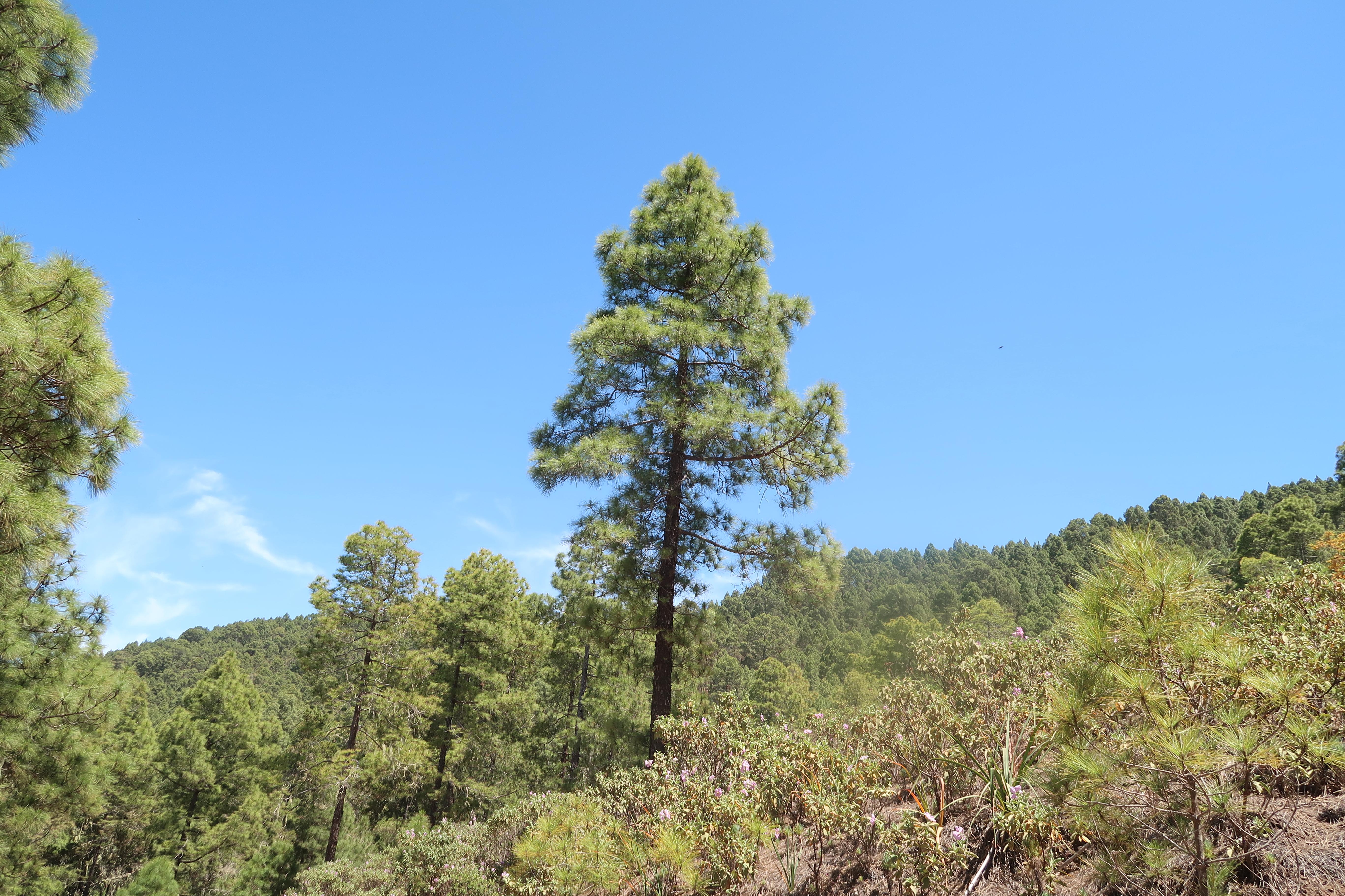
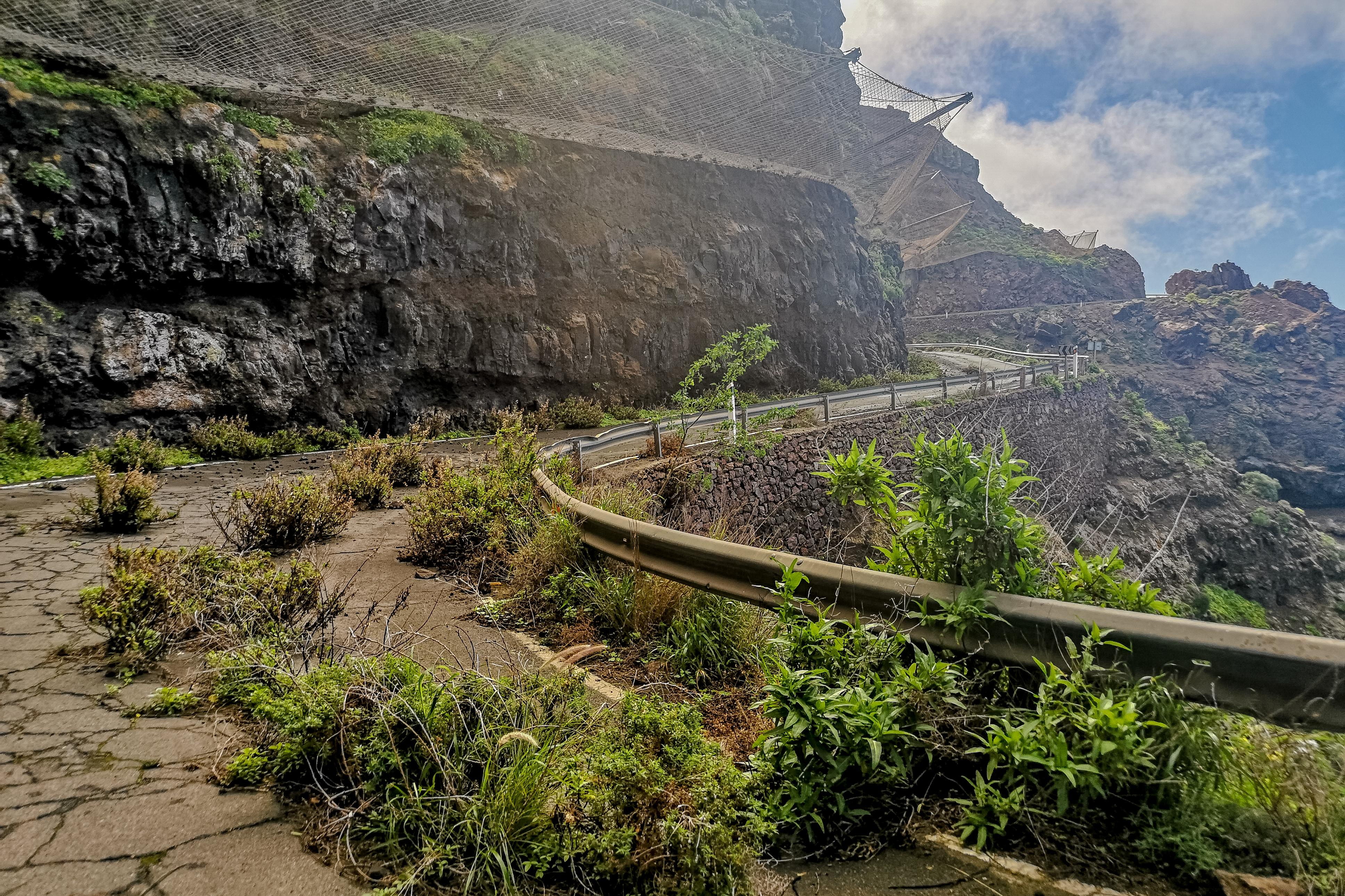
Parque Natural de Tamadaba stretches across 7,500 hectares in Spain, from high ridges down towards wild coastal cliffs. Tall, ash-green Canary pines cover steep slopes. More than 2,000 hectares form dense woodland, restored through reforestation and natural regeneration during the twentieth century.
Cool shade shelters rockroses, wild thyme and bird’s-foot trefoils beneath the trees. Woodpeckers move among the trunks, while the rare Gran Canaria blue chaffinch appears in the crowns. Llanos de la Mimbre provides a recreation and camping area, with trails leading towards La Bandera and the approximately 20-kilometre San Pedro route.
Lower barrancos guide the landscape towards Guayedra valley, where native palms stand beside a pebble and volcanic-sand beach. A steep track of roughly 650 metres connects the roadside with that secluded shore.
- City
- Agaete
- Content updated
Take this page with you
The myTuur app is free, and once you are standing at a spot its story starts by itself.


Spots like this one are the stops myTuur strings into tours through Agaete. In the app, each story begins where you stand: walk up to a spot and it starts, read it on screen or listen as you go, then follow the route to the next one.
What is myTuur?
myTuur is a free city-guide app. Its tours are built from spots, and each spot carries a story that starts when you get there, to read or to listen to as you like.